Everyday Architecture
Waterfront
The old shoreline of Dundee used to be much further back than it is today. To stand where the river edge used to be, you would have to go all the way inland to Shore Terrace, just behind Caird Hall.
The shoreline would have roughly followed Exchange St, Commercial St, then alongside Seagate; the earliest harbour was most likely right on the junction where Gellatly Street now meets Seagate. In the 16th and 17th centuries, bits of land were built out into and over the river around the new harbour (near Shore Terrace car park). Still, over the years, catastrophic storms and floods were a major risk in the area. In 1755, there was an actual tsunami that destroyed the harbour defence wall, this led to the whole street level in the area being raised up by 12 ft (over 3.5 meters), using the old streets and buildings as foundations (you can read more about the tsunami here!) In some areas, like Exchange Street, there are still parts of the hidden, disused historic streets that you can access from the building basements!
It wasn’t until the 1960s when the last harbour was filled, and the road bridge added, that the new waterfront area and shoreline was part of the city for the first time. One thing we can’t change about Dundee is our location, and the city still faces the threat of floods today from the coast and from heavy rains as many rivers and burns flow through and under the city.
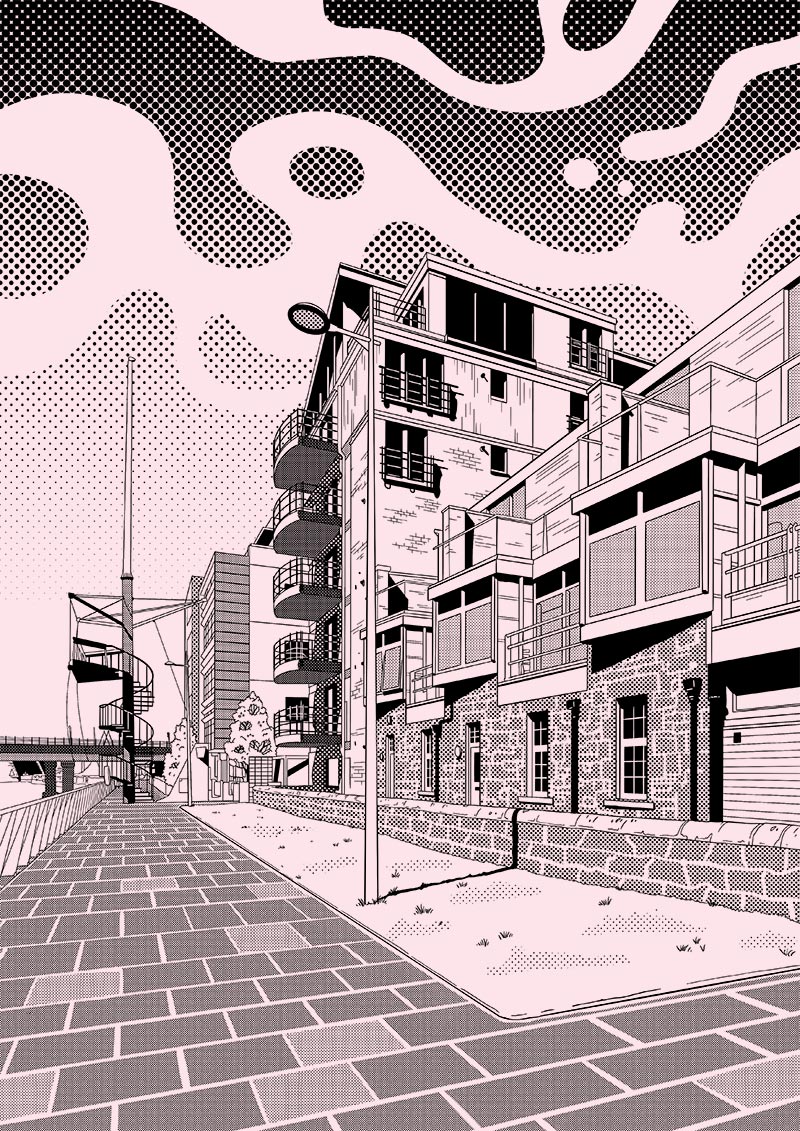
If you’re interested in the spiral stair lookout tower, check out the Dundee Design Festival Waterfront Design Trail!
Research by Stephanie Crowe
Words by Poppy Jarratt
Illustration by Dana Ulama